
4. Complete map
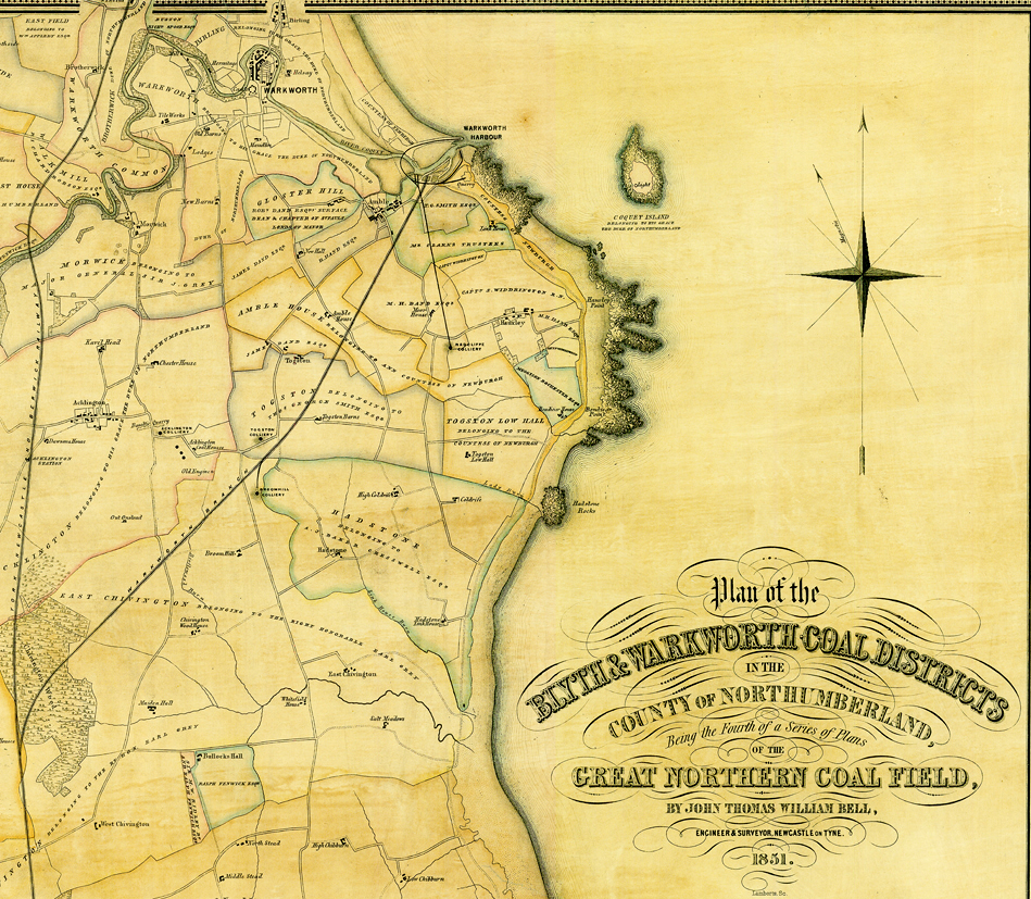
4a. The N.E. section of the map covering the coastal strip between Warkworth and East Chevington.
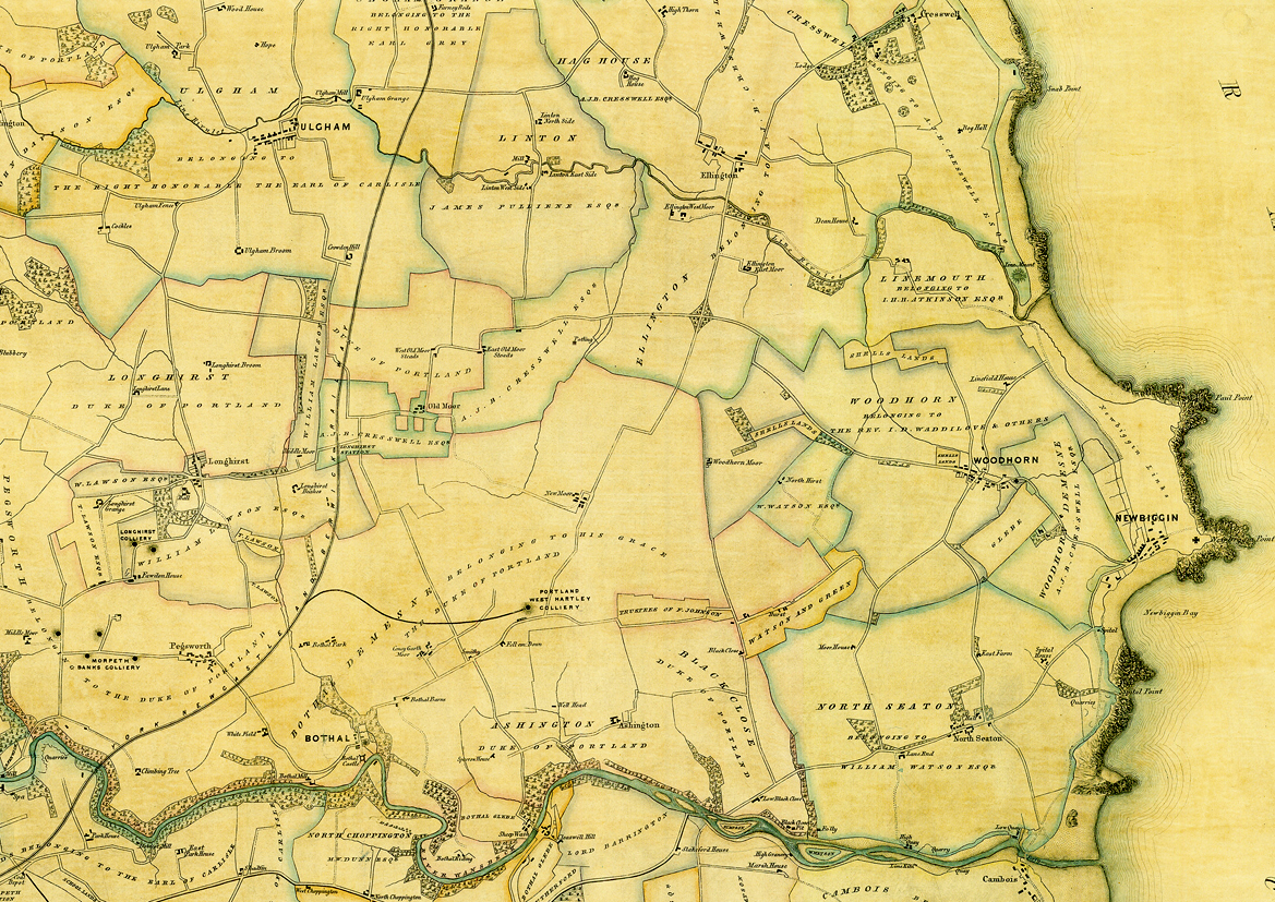
4b. Linton, Ashington and Newbiggin.

4c. Bedlington – Blyth.
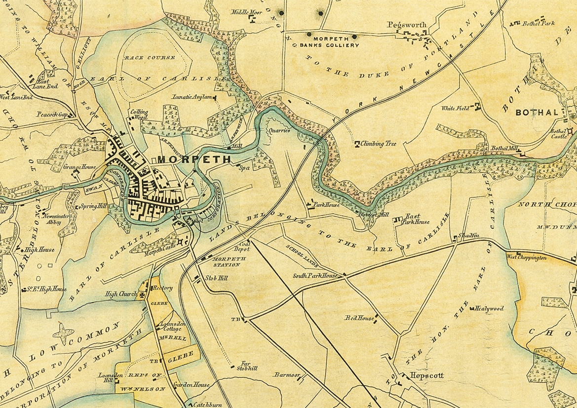
4d. Morpeth.
4. Complete map
4a. The N.E. section of the map covering the coastal strip between Warkworth and East Chevington.
4b. Linton, Ashington and Newbiggin.
4c. Bedlington – Blyth.
4d. Morpeth.


